
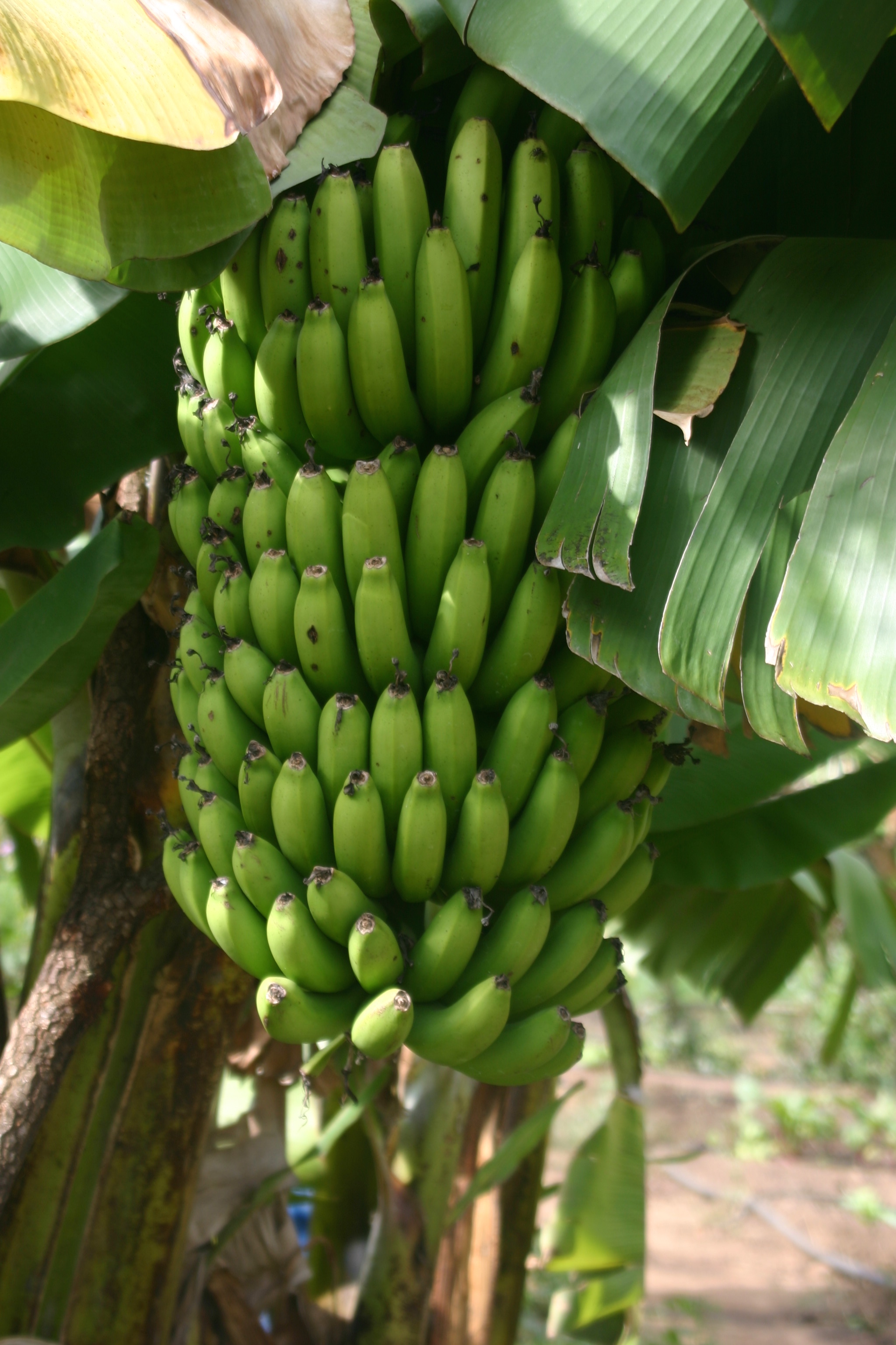
Banana tree in the commercial garden.
Contributed by Asa Strong.
In late March, the Mapping Team (Austin, Julia, and myself) trained the community coordinators in participatory mapping techniques. As part of the week-long training we designed a GPS practical that would prepare the coordinators for the GPS data collection of farmers’ households in Dowa District.
One of the many unique aspects of Kusamala is the abundance of trees, especially fruit trees. We asked the coordinators to map the fruit trees in each of Kusamala’s demonstrations with GPS and a clipboard. The results were fantastic! And offered an interesting perspective of the Kusamala farm.
Fruit trees provide delicious produce year-round, for example, mangos during the hot-dry season, guavas during the rainy season, and peaches during the cool-dry season. Their leaves offer much-needed shade for the soil during each dry season. The deep roots of fruit trees retain water in the soil and reach nutrients that other crops cannot. Additionally, they sequester a relatively large amount of carbon from the atmosphere.
The locations of the fruit trees are also important. The guavas in the chicken yard will provide fodder for the chickens as well as shade during the hot and dry months. The banana trees on the east side of the commercial garden will help control water flow as it moves from the west to the east side of the field. The fruits from the residential garden and memo garden will enrich our lunches as well as provide healthy snacks during the day.
After the coordinators surveyed the Kusamala farm, Vincent Makiyi (the Mapping Team’s translator and a new addition to the community coordinator team) and myself sat down and entered the GPS data and fruit tree names into a geographic information system (GIS). GIS are a powerful tool for the production and negotiation of geographic knowledge through the digital representation and analysis of spatial data. The fruit tree map, for example, was created in a GIS.

Click to enlarge
The ability for Malawian coordinators to operate GPS devices and enter the information into a GIS has significance beyond mapping fruit trees. Traditionally, the use of GIS and GPS has been confined to government agencies and academic researchers. However, the emergence of Participatory GIS (PGIS) is challenging these societal norms by enabling local people to play an active role in geographic information collection, analysis, and management.
In Dowa District, the community coordinators will use GPS to map household locations. The GPS data will then be linked with interview data about perceptions of well-being before and after Climate-Smart Agriculture outreach. This will aid monitoring and evaluation efforts for the Climate-Smart Agriculture program as well as provide a forum for international advocacy on behalf of smallholder farmers.
From mapping fruit trees to mapping smallholder farmers’ perceptions of well-being in Dowa, the coordinators are redrawing official maps with personal and communal narratives and perceptions.