
Contributed by Austin Dunn and Julia Reynolds.
For over five months now, the mapping team has worked closely with a group of ten farmers from Khundi village, some of whom identify as permaculture farmers and some who do not. In order to understand how these farmers perceive and use their resources—and, hopefully, to learn whether the farmers trained in permaculture view their resources in different and innovative ways—we conducted a variety of participatory mapping exercises with each farmer. For example, we asked farmers to draw detailed maps of their fields, gardens, and households, showing us how they use their space, what inputs they require, and what issues or problems they might face (e.g. soil erosion or flooding).
We’ve seen many fantastic, informative maps during these past months, and we’ve learned a lot about the practices these farmers implement in their fields. We discovered that the divide between the “permaculture” and “conventional” farmers is less distinct than we thought. The realization that every farmer has something important to share, from intercropping to agroforestry to utilizing household space for food production, inspired our mapping team to put together a participatory workshop. We wanted to share all that we had learned from each farmer with the entire group, to elicit a conversation about best practices for climate-smart agriculture, and to provide these farmers with tools to continue these practices.
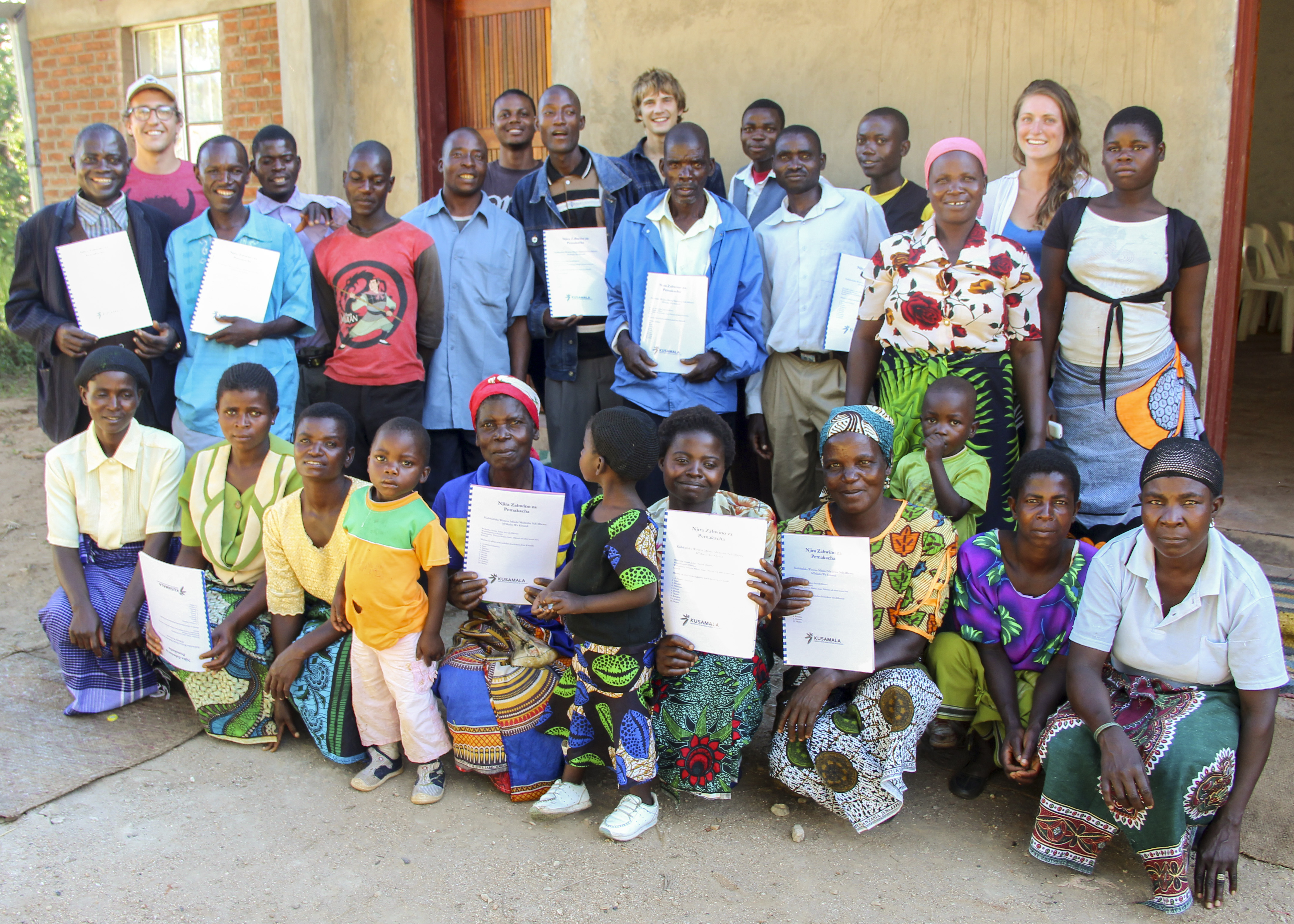
The workshop was held last Thursday with great success. In the morning, we gave a handbook to each farmer and his/her spouse, entitled “Best Practices for Permaculture, from the farmers of Khundi Village” (see handbook here: Njira Zabwino za Permaculture). This handbook was made entirely from the maps created by the farmers. We picked out some of the best practices shown on these hand-drawn maps, and, with the help of our research assistant Dikarani, explained in Chichewa how each practice is beneficial.
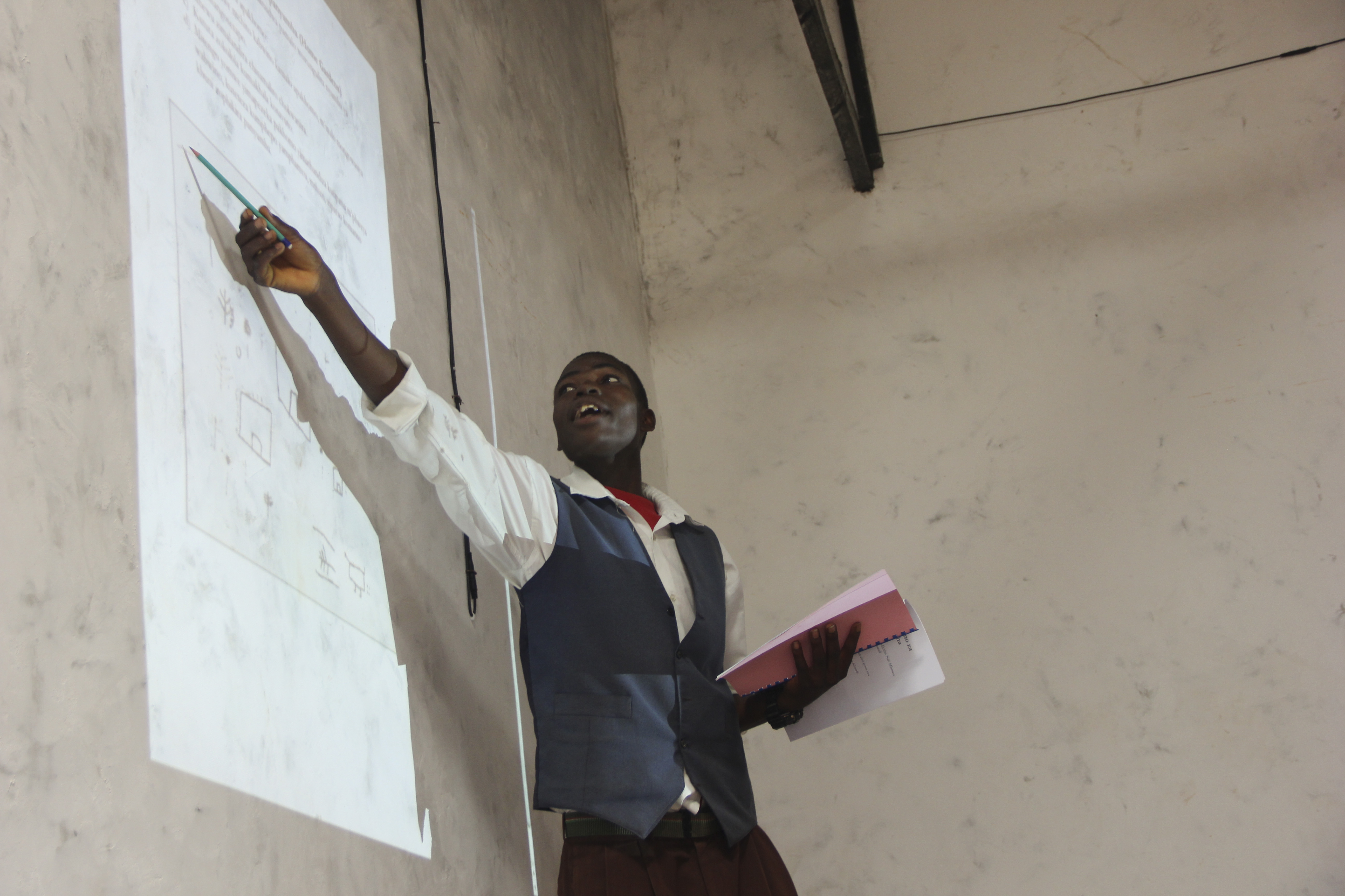
Dikarani discussing one of the maps created by the farmers.
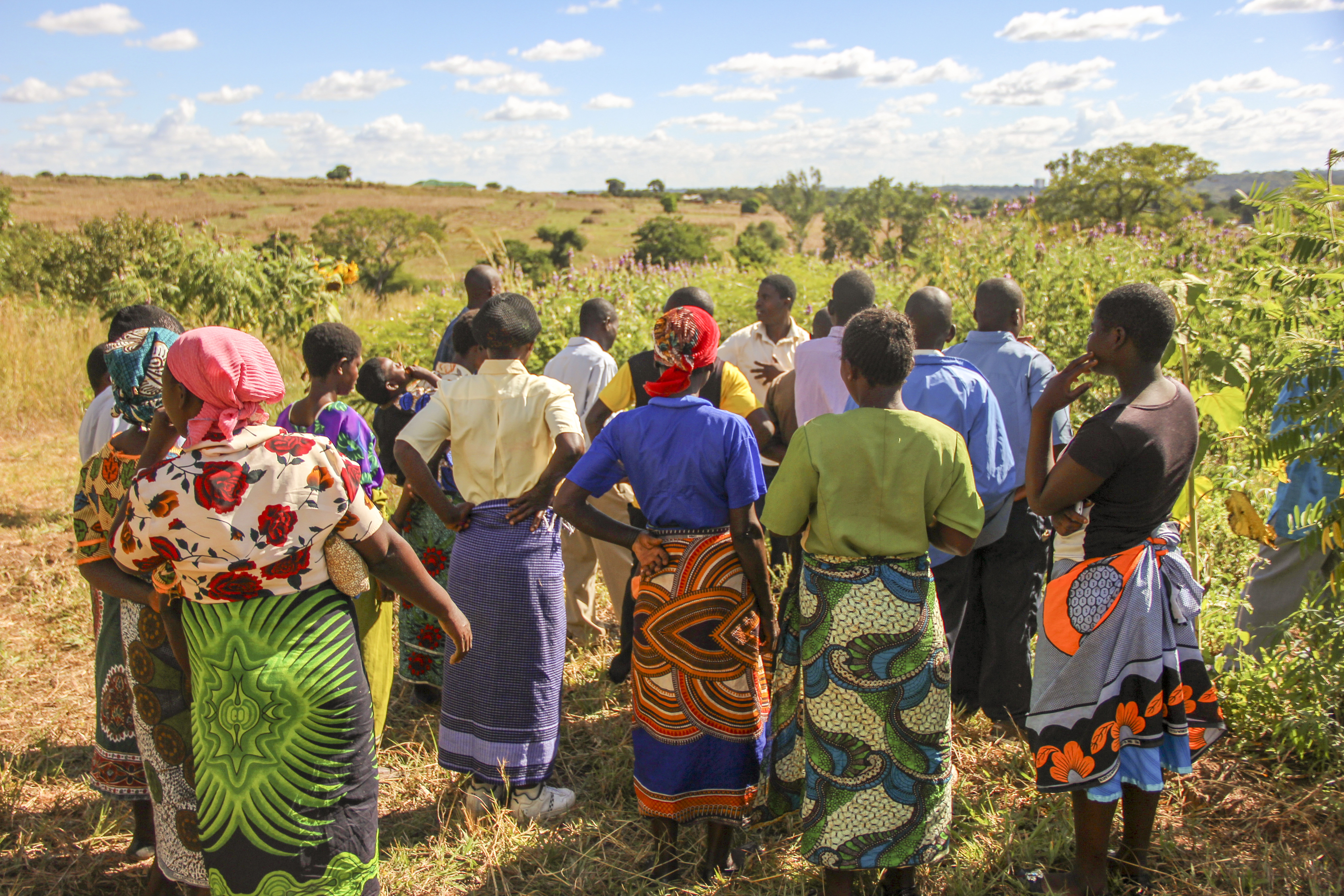
The second part of the workshop involved making basemaps of the areas where the farmers live and work. We explained that while it is important to implement the best practices in individual fields, also necessary is working together as a community to conserve community resources and the environment. Using aerial imagery from Google Earth, GPS data collected over the last few months, and a projector, we asked the farmers who lived/owned fields near each other to map out their communal space, and explained how these maps can be used for community decision-making and planning.

The farmers making basemaps.
Finally, after lunch, Biswick led a tour of Kusamala’s demonstration farm. It was wonderful to see how interested the farmers were in learning about the different permaculture principles and practices implemented in our fields and gardens. Our hope is that the handbook, the basemaps, and the knowledge shared will be resources for these farmers and their communities for many growing seasons to come.
Biswick leading the farmers on a tour.
For more information on the mapping team’s work, visit their blog: agalternativesmalawi.wordpress.com